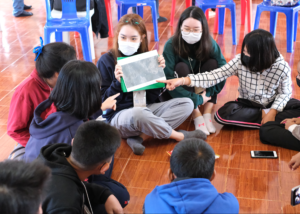
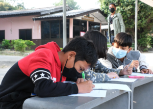
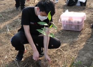
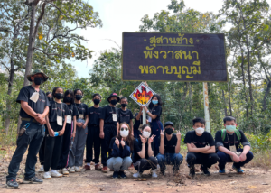
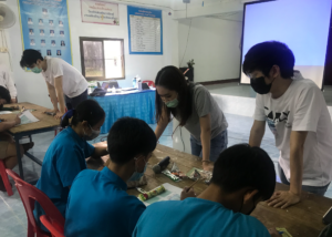
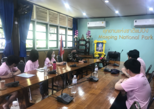
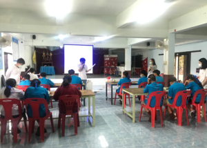
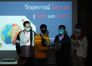
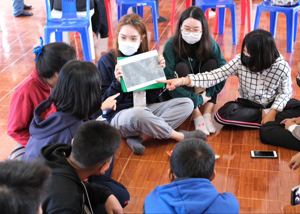
The northern region of Thailand has been afflicted by smoke due to forest burning concerns in many places, affecting villagers in the community as a result of this conduct. From these problems above, we designed a study with the goal to reduce the burning area of forests through the means of a fire tracking website by (1) teaching students between the ages of 11 and 14 years old how to use the website and testing their effectiveness, (2) teaching youth in areas about fire maps and how to draw them, (3) conducting a survey with users about their experiences with the site to compile a recommendation report for website developers, and (4) cultivating and sustaining ideas of protecting forests from fires. The result of our teaching gave mixed results compared to our passing criteria of 75%. For the creation of a sustainable project, our team has consulted with Mae Ping National Park officials and came up with an idea to implement the “Students tour guide” project. We also have some suggestions for those who will continue this project to cultivate the TamFire website into the future.